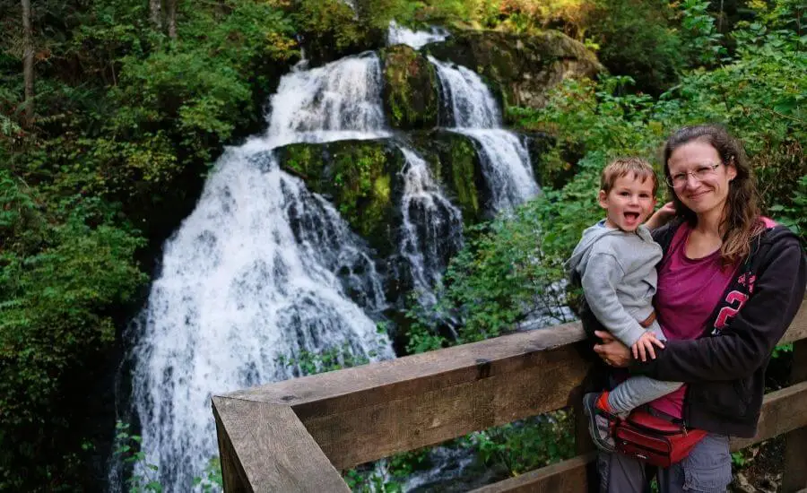
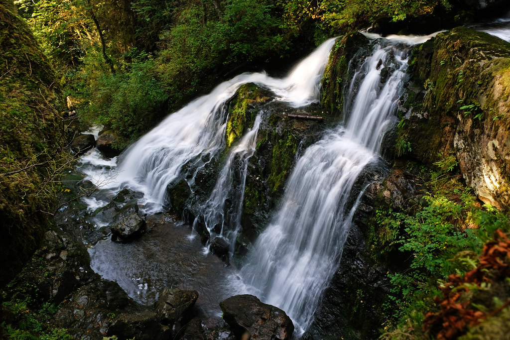
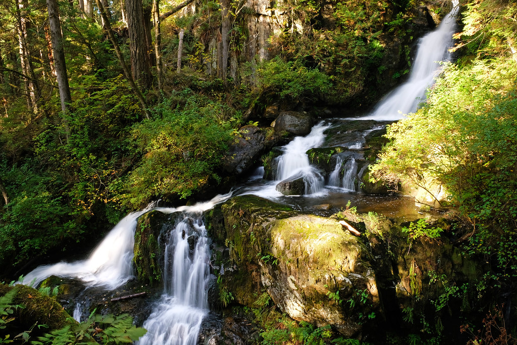
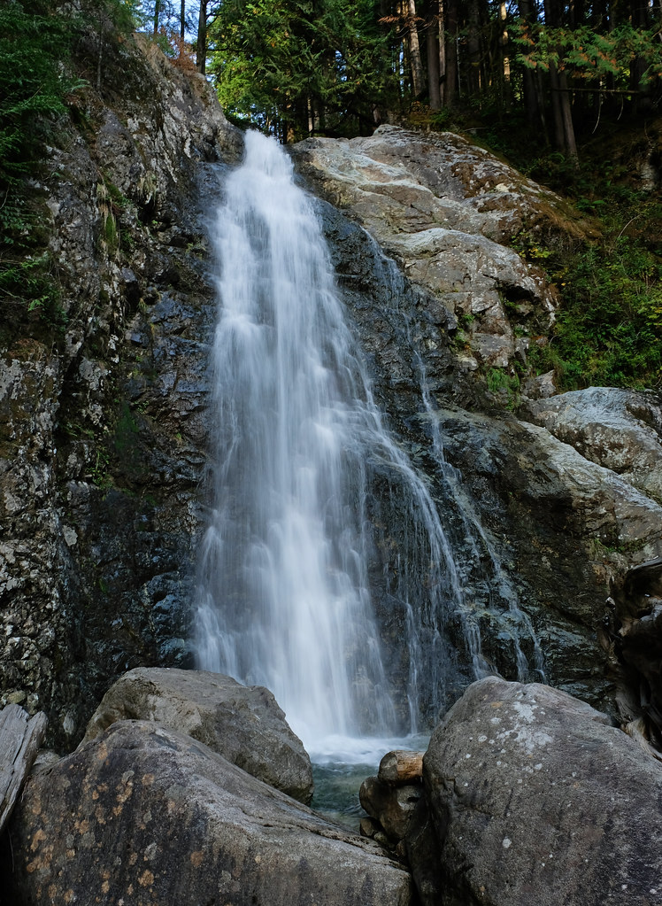
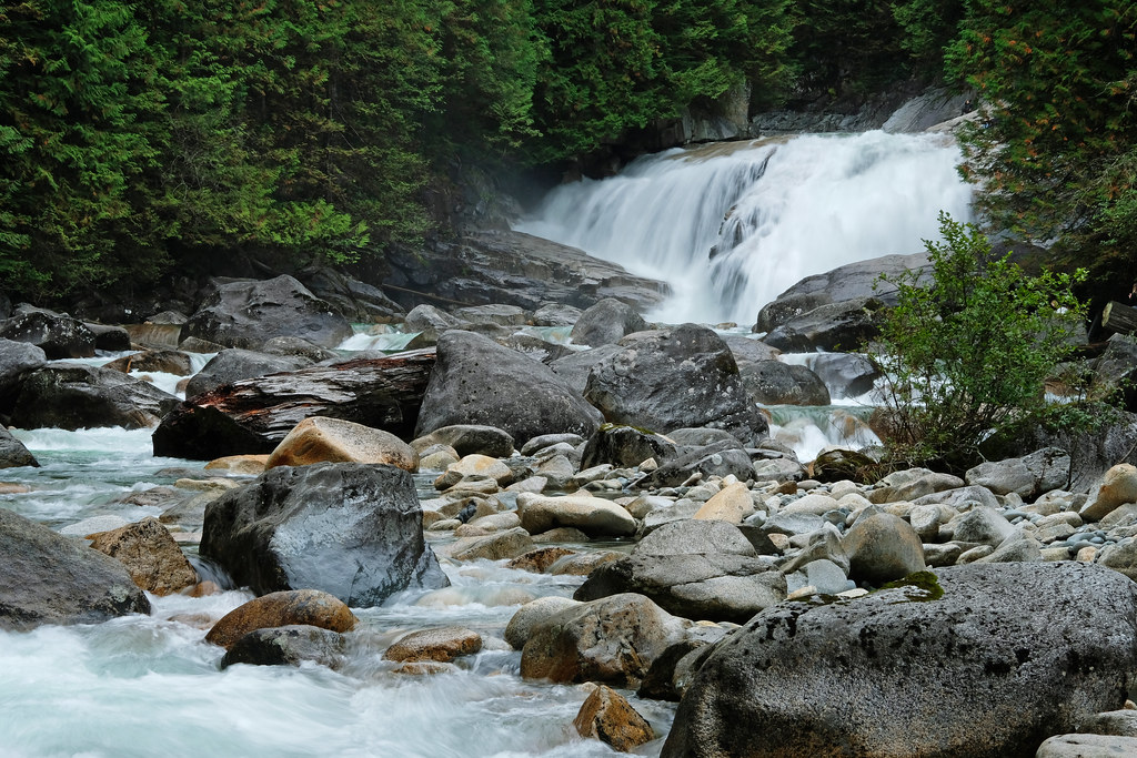
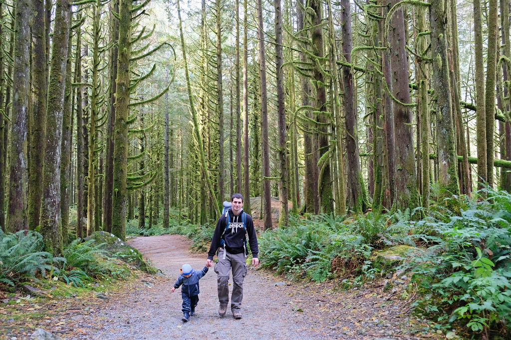
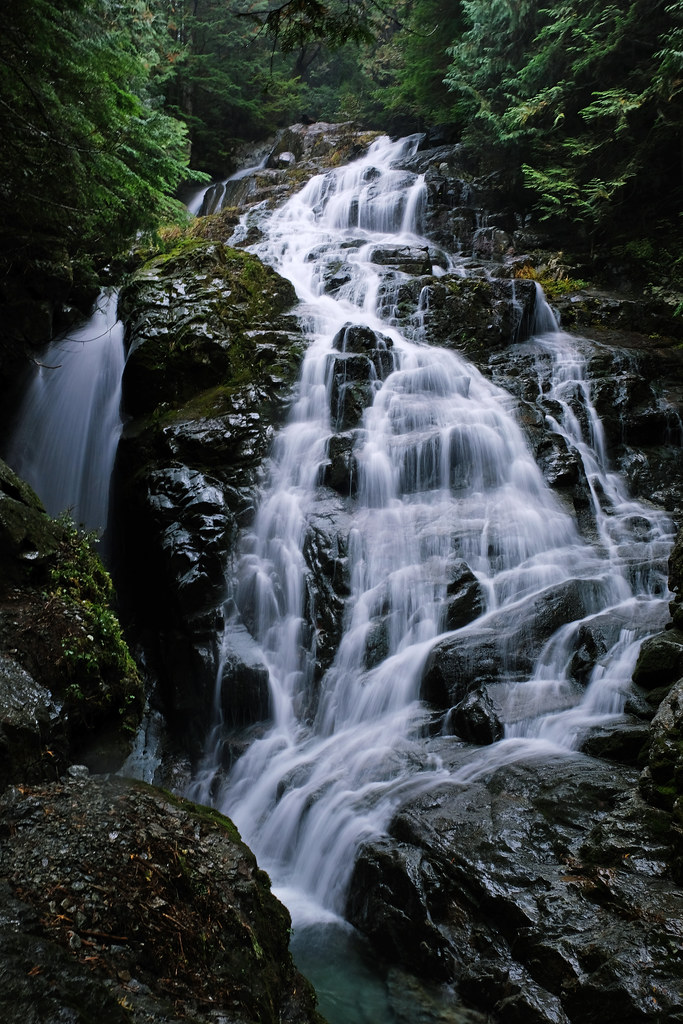
Moving to a new country is always shocking. But one of our most pleasant shocks in the Vancouver area was waterfalls. Seriously, they are everywhere! And I’m not talking about the tiny, cute ones that are more like decorations in the parks, but the roaring, impressive ones. Some of which are in city parks, but most of them can rather be found in the nearby provincial parks.
This post is about the best waterfall we’ve found here – where to find and how to access them, which is the best time to visit. Some of them we recommend for anyone who visits Vancouver, and some mainly for locals digging for lesser-known gems or families looking for easy, pretty nature walks. Let’s see.
BC Trip Planning is Overwhelming. So We Did It For You.
Our compact guide delivers step-by-step itineraries to BC’s best sights and hidden gems.
Our TOP 3 from the list are: Brandywine Falls, Crooked Falls and Steelhead Falls.
DO YOU NEED A CAR FOR YOUR ROAD TRIP? SEARCH, COMPARE AND SAVE:
Discover Cars is one of the world’s largest online car rental platforms with vehicles in 10,000+ locations. Compare the best rates here.
Twin Falls, Lynn Canyon Park, North Vancouver
Lynn Canyon Park is one of the best attractions in Vancouver! With its canyon and suspension bridge, rainforests and waterfalls, you really couldn’t ask for more from a city park.
Right, it’s a city park. Though strictly speaking it’s not part of the city of Vancouver, but the city of North Vancouver, still it doesn’t make much difference, because they’re both part of the same, giant, contiguous Vancouver metropolitan area. And it’s a free park – unlike Capilano Suspension Bridge Park, the other famous one with suspension bridges.
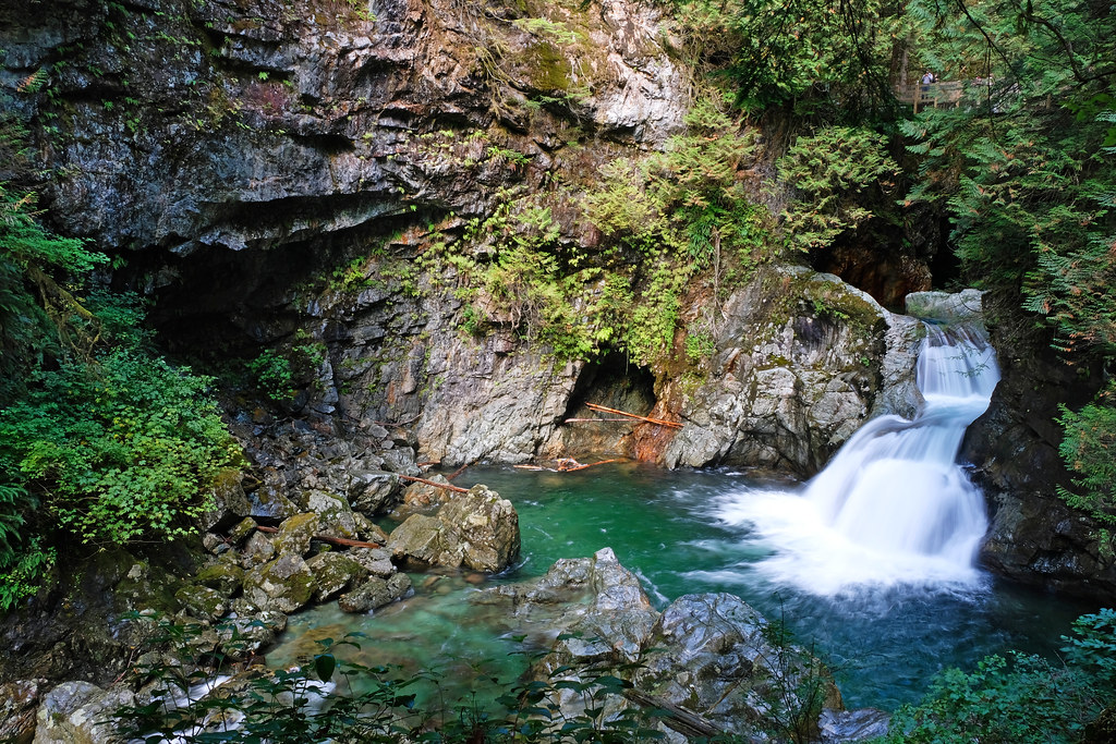
Twin Falls is one but not the only highlight of Lynn Canyon. It’s worth spending a few hours here to do both the Twin Falls and the Thirty Foot Pool loops to see the most photogenic sights of the park. Both start from Lynn Canyon Cafe, the Twin Falls Loop is about 45 minutes walk, the Thirty Foot Pool loop is about 20 minutes, and the suspension bridge can be included in any of them as it’s in the middle.
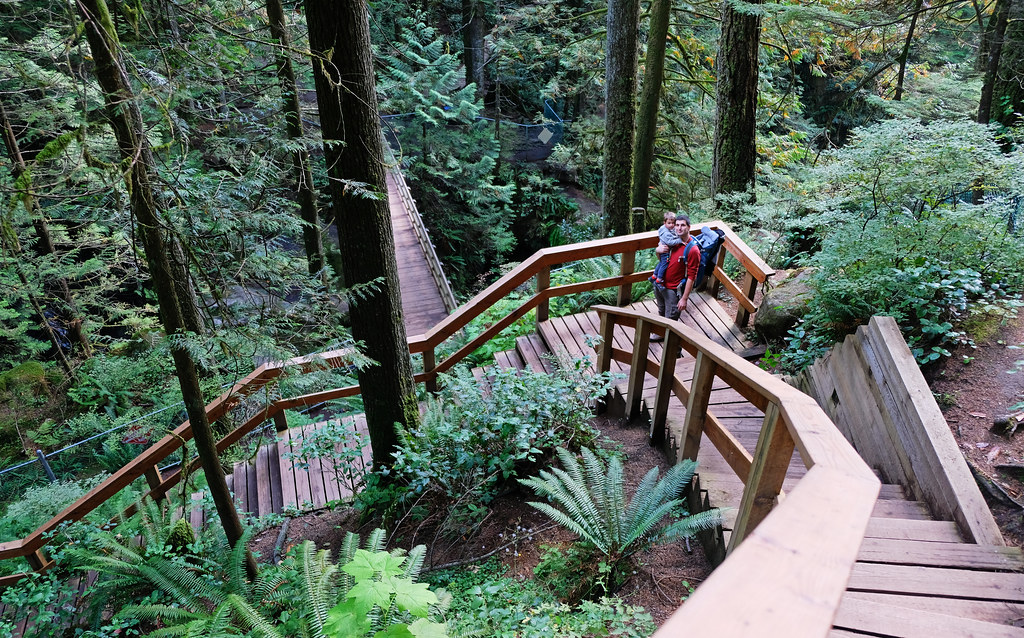
It’s a busy park, the trails are well-maintained and easy to follow, the bridges are very safe – and I mean safe even for careless toddlers, because it’s impossible to fall down. (Famous last words, I know. Of course, we didn’t leave Tomi alone there, but I didn’t need to stress about holding his hand 100% of the time either.) There are washrooms (that’s the toilet in Canada :)), an ecology center, a restaurant and a shop, so you’re definitely not out in the wilderness with no facilities.
The trails are not wheelchair accessible (nor stroller-friendly) as there are lots of stairs that you need to climb on your way down and up. But it’s not a hard path either, you don’t even need hiking boots, a lightweight pair of walking shoes is fine (unless it’s pouring rain).
And the best view of Twin Falls?
It looks impressive from the bridge above it, but walk further down on Baden Powell Trail, and stay close to Lynn Creek for the best front view. Don’t climb over the fence though, it’s there for a reason, and you find that pretty frontal view from right behind the fence. If you walk further down, you can even access the river safely (but Twin Falls can’t be seen from there).
| Know before you go |
|---|
| Access: 45 mins loop walk from the parking lot on a wooden boardwalk with many stairs |
| Parking: max 3 hours paid parking (park elsewhere in North Vancouver if you want to spend more time in the park, but pay attention to street signs to make sure parking is allowed) |
| Washrooms: yes, public washrooms in the Lynn Canyon Cafe building |
| Best time to visit: any time of the year; avoid summer weekends if you can, those are the busiest |
| Recommended for: everyone (tourists, locals, families, couples, photographers…) |
Shannon Falls, Shannon Falls Provincial Park
With its 335 meters height Shannon Falls is the third tallest waterfall in British Columbia. It’s also one of the most popular short stops along the Sea-to-Sky Highway from Vancouver to Whistler.
A spectacular viewpoint below the falls is just a short walk away from the parking lot, then you can continue to a second viewpoint further up. However, if you want to hike up to the pools below Shannon Falls, you have to work for it. 🙂 The Shannon Falls Pools Trail is about 2.5 kilometres, but it’s quite a steep trail, supported by ropes.
For a full day hike, choose the Sea to Sky Summit Trail that takes you close to Upper Shannon Falls and also rewards with panoramic views of the area.
| Know before you go |
|---|
| Access: about 10-20 minutes walk to the two viewpoints of the falls; more challenging paths take you to the pools and close to Upper Shannon Falls |
| Parking: free, but limited in the official parking lot of Shannon Falls Provincial Park |
| Washrooms: yes, in the picnic area |
| Best time to visit: any time of the year; though higher grounds can be covered with snow and ice in winter |
| Recommended for: the two viewpoints are great stops for anyone driving the Sea-to-Sky Highway; hiking to the pools and the upper falls are rather for avid hikers and adventurers |
Bridal Veil Falls, Bridal Veil Falls Provincial Park
I guess every region with some waterfalls has their own Bridal Veil Falls. Well, so does Vancouver, even though Bridal Veil Falls Provincial Park is 1.5 hours drive from the city in the Fraser Valley. This small park actually consists of a day use area and a short loop walk to 60 meters high Bridal Veil Falls. The viewpoint at the bottom of the waterfall can be reached within 15 minutes walk from the parking lot.
This park is great for family picnics, kids can play by the creek, and the walk to the waterfall viewpoint is short and easy. However, if you don’t plan a half day picnic there, it’s more just a stop on your way, because you can’t hike much in this park. Find more trails near Hope.
| Know before you go |
|---|
| Access: about 15 minutes walk to the waterfall viewpoint from the parking lot |
| Parking: free, but limited in the official parking lot of Bridal Veil Falls Provincial Park |
| Washrooms: yes, in the parking area (but no water) |
| Best time to visit: any time of the year; though be extra cautious in winter, because the waterfall turns into an unstable wall of ice |
| Recommended for: mainly for locals and families |
Steelhead Falls, Mission
This is not the tallest, nor the most well-known waterfall in the area. Still it’s among our very favorites! The trail itself is such a quiet, not too busy forest trail with mossy trees and charming little bridges – if there’s a scenic trail in a forest, this one is certainly it. And the waterfall is very pretty in its lush green settings.
Steelhead Falls is just off the Hayward Reservoir Trail, and the path starts from a paved parking area off Dewdney Trunk Road. The trail is pleasant, evenly descending (or ascending on your way back) and is great with kids, too. A sign indicates where to turn for the falls, and there are two viewpoints close to each other. Both are beautiful, though the upper one is less safe, the lower one is a safe wooden platform with a fence and a bench.
If you want to extend your hike, go to the Hayward Reservoir (but you can’t do the full loop around it, because it’s closed), otherwise return the same way you came. Rolley Lake Provincial Park with an easy lake loop trail and another waterfall, Rolley Falls is just 10 minutes drive from the Steelhead Falls trailhead.
| Know before you go |
|---|
| Access: 2 km out and back on a forest trail |
| Parking: small, free parking lot just off Dewdney Trunk Road |
| Washroom: yes, at the beginning of the trail (but no water) |
| Best time to visit: March – October |
| Recommended for: anyone looking for a quiet walk to a not so well-known, lovely waterfall |
| Check out the trail map here! |
Cascade Falls, Cascade Falls Regional Park
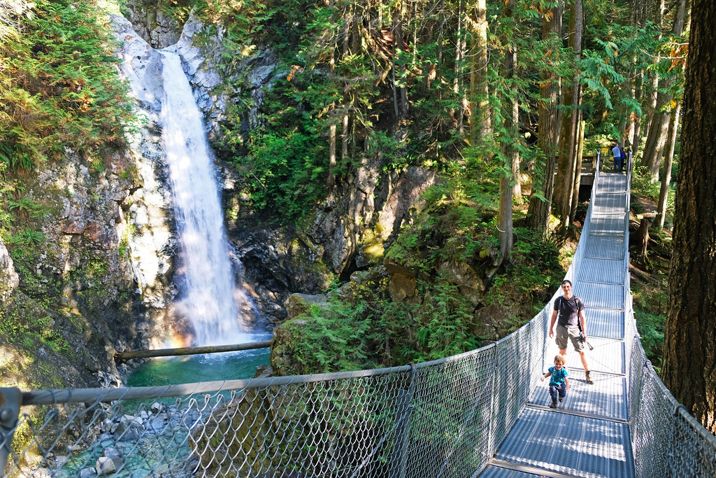
Do you like suspension bridges? And waterfalls? Here’s another park that offers both: Cascade Falls Regional Park, about a 1.5 hours drive from Vancouver. A short forest trail gives access to the bridge, the viewing platforms and the waterfall. The path is wide and pleasant, though it’s an uphill walk. Finally, a series of wooden stairs lead you to the waterfall.
Cascade Falls is a very scenic one, and it can be viewed from the suspension bridge that’s directly in front of it, and also from the two viewing platforms at each end of the bridge. It’s a magical sight in winter, too, when the waterfall is partially frozen and covered in snow.
It’s a great place for families. The platforms and the suspension bridge provide safe access to admire Cascade Falls. There’s also a picnic area that’s reachable on a different path from the main parking lot. It’s worth a few minutes’ walk as it gives access to the creek. Children can play and splash water there, but couples and photographers (or really, anyone) can enjoy the serene views of the crystal clear creek, rocks and pine trees in less busy hours.
If you’re visiting Vancouver as a tourist, this makes for a great stop on a Fraser Valley road trip.
| Know before you go |
|---|
| Access: 0.75 km out and back on a forest trail, with wooden stairs and a suspension bridge at the end |
| Parking: Cascade Falls Regional Park main parking lot (free) |
| Washrooms: yes, in the parking area (but no water) |
| Best time to visit: any time of the year |
| Recommended for: everyone, tourists and locals alike |
McDonald Falls, Davis Lake Provincial Park
Davis Lake Provincial Park is an undeveloped one, and McDonald Falls is among the least known waterfalls near Vancouver. If you visit Cascade Falls, you’ll be only 10 minutes drive away from the trailhead to McDonald Falls. The last few kilometres of the road is not paved, but it’s still okay for a regular car as it’s a wide, almost flat, dirt road.
Keep your eyes open for the trailhead though. There’s a sign at the side of the road, indicating “Davis Lake Provincial Park, McDonald Falls Trail”, but it’s easy to miss it among the bushes. Once on the trail, you’ll soon reach Murdo Creek and start descending along it. It means views of countless lovely cascades until you reach ~12 meters tall McDonald Falls.
You can continue further to Davis Lake which is just a few more hundred meters away from the waterfall. It’s not the most magnificent lake in the world, but if you’re already there, why not take a look?
| Know before you go |
|---|
| Access: 0.8 km out and back on a forest trail |
| Parking: dirt parking area along Lost Creek Forest Service Road (Google Maps might know it by the name “Davis Lake Trailhead”) |
| Washrooms: no |
| Best time to visit: it’s accessible year-round, though the path is steep and can be dangerous when wet/icy |
| Recommended for: locals and waterfall addicts looking for hidden gems |
| Check out the trail map here! |
Gold Creek Falls, Golden Ears Provincial Park
Like most hikes in Golden Ears Provincial Park, this one requires a day permit in the warmer half of the year. You can get it for free (and only about 24 hours before your arrival) here. Register with an e-mail address where you want the day permit to be sent, then download it to your phone as coverage in the park is not stable.
Why do you need a permit? Starting in 2021, this is how the park management tries to ensure that the place won’t get overcrowded and is preserved for the future. You bet it’s a popular park – and Lower Gold Creek Falls Trail is one of the most popular hikes there. Because it’s stunning and very easy, rather a casual forest stroll than a real hike.
Gold Creek Falls is not particularly high, but it’s a very impressive, powerful, roaring waterfall. There are two viewpoints, and both are wonderful! Take the short, steep climb after the first wooden viewing platform to get to the second one, it’s worth it.
The trail itself is quite idyllic, as well, it’s some of the nicest rainforest walks, and you often get views of the creek and the surrounding mountains. To extend it to a day hike, you can continue on the East Canyon Trail, then cross the bridge and hike back on the West Canyon Trail. Take a detour to Viewpoint Beach for a lovely picnic by the creek.
There’s actually a third waterfall viewpoint which is a short, steep (very steep!) detour from the West Canyon Trail. We think it’s not worth the effort, because the views are not better than from the other viewpoints. But in case those are crowded, you can surely enjoy some solitude at this viewpoint.
| Know before you go |
|---|
| Access: 5.5 km out and back on an easy forest trail (even suitable for strollers) |
| Parking: Gold Creek Parking (free, but day permit is required) |
| Washrooms: yes, in the parking area (but no water) |
| Best time to visit: any time of the year; but avoid summer weekends to escape the crowds |
| Recommended for: mainly for locals who can be flexible when visiting, because you need a permit, and it might not be available for the day you plan for; but definitely add to your Fraser Valley itinerary if you visit in the shoulder season or off season |
| Check out the trail map here! |
Flood Falls, Hope
It takes about 20 minutes to walk to this lesser-known waterfall that’s just off the Trans-Canada Highway near Hope. We saw it in October when it had some water, but it’s said to be the most stunning in spring, after the snow melts (hence the name, I guess). It’s a pleasant walk with kids, but it’s definitely just a short addition to your day in the Hope area.
| Know before you go |
|---|
| Access: 1 km out and back on an easy forest trail |
| Parking: dirt parking by the road at Flood Falls Trail (off Flood Falls Road) |
| Washrooms: no |
| Best time to visit: spring and early summer; it can dry out by the end of summer |
| Recommended for: mainly for locals looking for less busy waterfall walks; great family hike, too |
| Check out the trail map here! |
Kennedy Falls, North Vancouver
It’s a good half day hike to reach Kennedy Falls and get back, and many of the locals don’t even know about this waterfall. Maybe because the trailhead is mostly popular with bikers, and there’s a network of biking trails there. However, if you walk further, you reach Cedar Tree Trail which is an unmaintained forest trail that doesn’t belong to any park. This one led us to Kennedy Falls through an amazing West Coast rainforest.
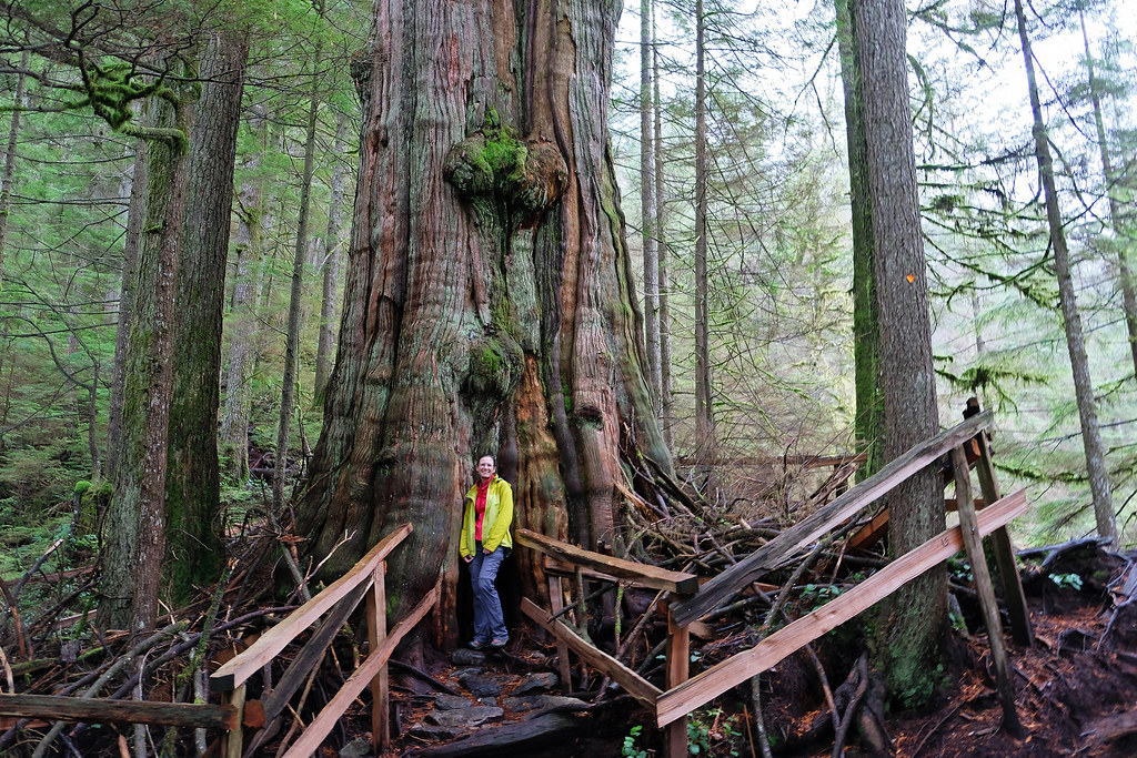
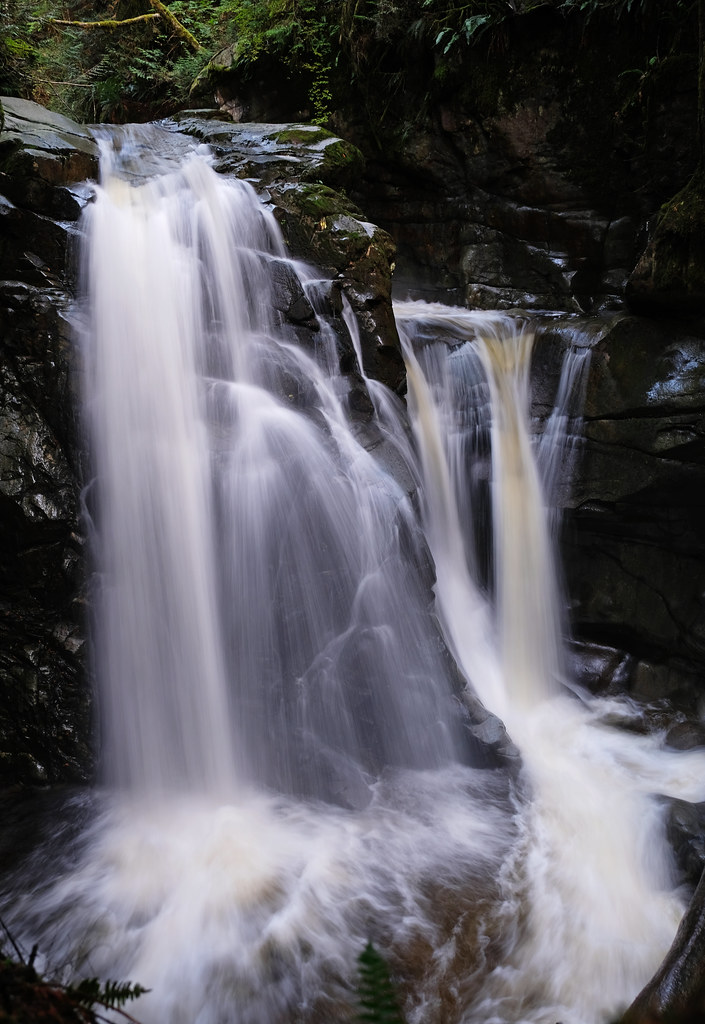
On the way we found another spectacular attraction: a 600+ year old red cedar that’s among the oldest ones near Vancouver and is fenced for protection. And our final destination, Kennedy Falls was a pleasant surprise, as well. It’s only about 7 meters tall, but it’s such a pretty cascading waterfall, surrounded by the lush green forest and some dramatic cliffs!
The trail is relatively easy for the most part, but there are some technical sections which makes it not a particularly kid-friendly trail. With that said, we did it with our 2-year-old, and he was in the carrier backpack during those sections. Waterproof hiking boots are a must though, there are several creek crossings, and the trail is often muddy, anyway.
| Know before you go |
|---|
| Access: 11.3 km out and back |
| Parking: Mountain Highway Parking (Fromme Mountain Recreational Trails); note that this parking lot only allows parking up to 3 hours |
| Washrooms: yes, in the upper drop off only area (but no water) |
| Best time to visit: May – November (though it’s often snow-free all year, there are several little creeks to cross on the way, and they could be too deep and wide during the rainiest months) |
| Recommended for: locals looking for less busy waterfall trails |
| Check out the trail map here! |
Crooked Falls, Upper Squamish Valley
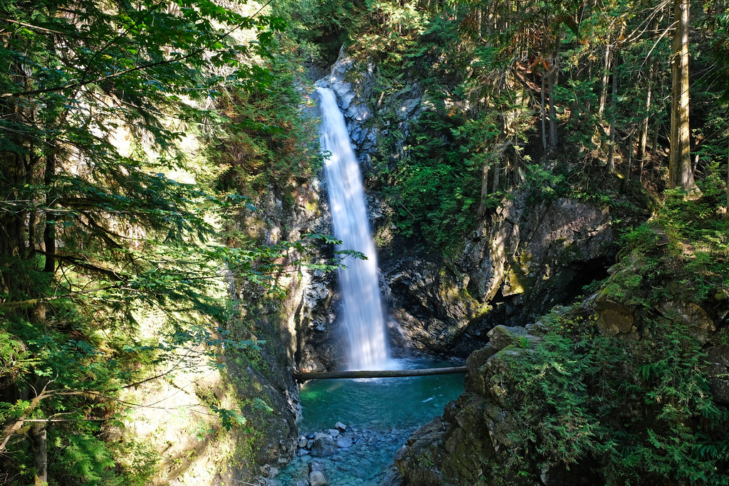
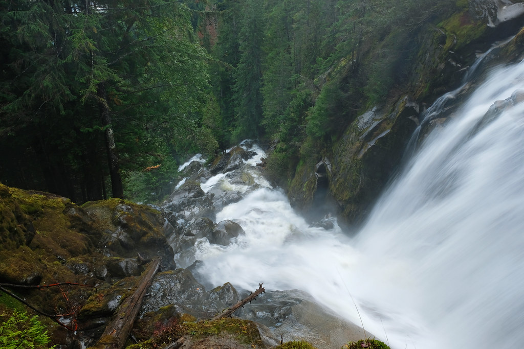
Crooked Falls is a powerful, roaring waterfall, and the hike there is pure delight with several pretty views on the way!
It takes about 1.5 hours to drive there from Vancouver, and the last few kilometres of the road is not paved. Nothing to be afraid of, it’s doable with a normal car, however, be careful after heavy rains, it can be quite muddy, and there’s a risk of flooding. We really enjoyed the views during this last part of the drive though, especially from the bridges! A good introduction to such a scenic hike that followed.
Parking is at the Sigurd Valley Trail Trailhead, just off the side of the road beside Ashlu Creek. It looks like there’s nothing there, because the trailhead is not marked, but use your trail map and get going on the path that starts in the forest – and runs in the creek in the first few hundred meters. After about 15 minutes of walking in the forest, you’ll reach a sign board and the Sigurd Valley Trailhead, and the trail is obvious and well-marked from there.
It’s a medium difficulty trail, because some sections are steep, and you need to use your hands, too, but we found it pleasantly adventurous. (Tomi was in the carrier for those sections, of course, it’s not doable for a small kid. But the beginning of the trail was a pleasant walk for him.)
The best viewpoint of the Squamish Valley is the first one, but it’s easy to miss since it’s not marked. Watch out for a narrow path that leads up to a rocky bluff. Later on there are two other nice (and easily noticeable) viewpoints.
The highlight is definitely Crooked Falls that can be viewed both from the side and from the front. You approach it from the side, and then the trail drops down to two natural platforms that are prime viewing spots! They also get mist from the falls, so you’ll be wet. (And it’s really hard to take a nice photo because of that, so our pictures can’t remotely match with the beauty of this waterfall.)
On our way back, we took a short albeit steep detour to Stoltmann lookout which rewarded us with the best views of the surrounding snow-capped peaks.
| Know before you go |
|---|
| Access: 5.5 km out and back |
| Parking: Sigurd Valley Trail Trailhead |
| Washrooms: no |
| Best time to visit: April – November |
| Recommended for: off the beaten path adventurers |
| Check out the trail map here! |
Lower & Upper Cypress Falls, Cypress Falls Park, West Vancouver
Just another small park that offers a short and relatively easy trail with two waterfalls – and three waterfall viewpoints. The Lower Cypress Fall viewpoint is a really short walk from the parking area, but it’s worth continuing further up on the trail from there.
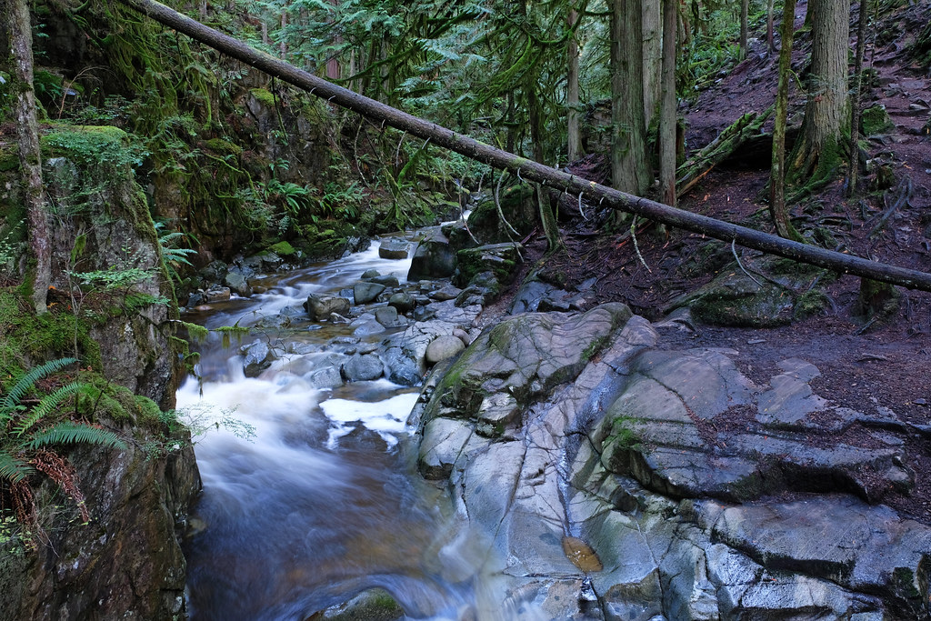
We enjoyed lovely views of Cypress Creek and its canyon on the way:
However, the real highlight was the two viewpoints for the Upper Cypress Fall. You actually walk out of the maintained park to reach them, and the second one is easily missed if you don’t follow your trail map.
All in all, it’s a great walk for any nature lover. You can squeeze it in on your way back from the Sea-to-Sky Highway to Vancouver, and it’s suitable for families, too.
| Know before you go |
|---|
| Access: 2.7 km out and back |
| Parking: Cypress Falls Park parking area |
| Washrooms: yes (but no water) |
| Best time to visit: any time of the year |
| Recommended for: nature lovers and families |
| Check out the trail map here! |
Brandywine Falls, Brandywine Falls Provincial Park, Whistler
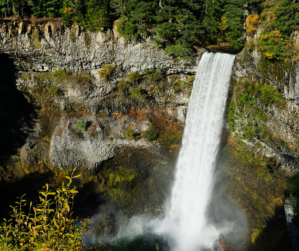
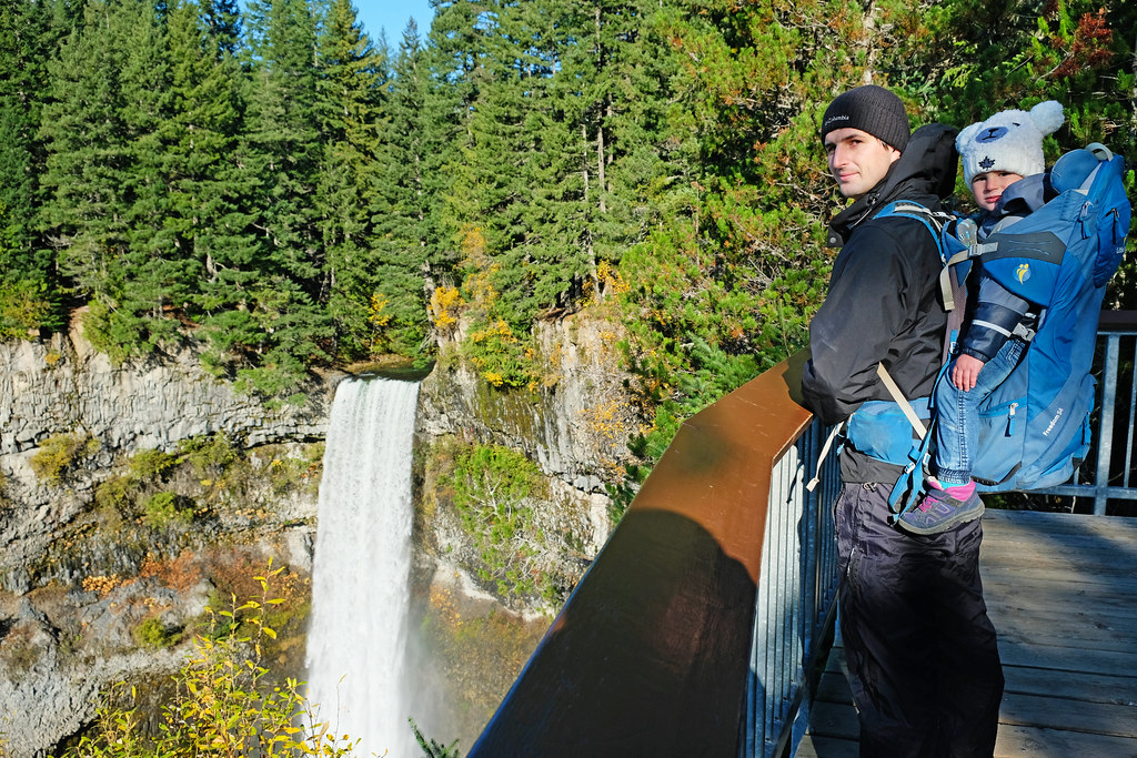
Flowing over layers of basalt lava rocks and surrounded by lush green pine forests, 70 meters high Brandywine Falls is the postcard perfect waterfall. It’s not the highest in the area, but high enough to impress, and with its symmetric fall it looks quite spectacular.
It takes about a 1.5 hours drive to get to Brandywine Falls from Vancouver, but this drive is actually a tourist attraction on its own: the scenic Sea-to-Sky Highway between Vancouver and Whistler. Brandywine Falls Provincial Park is almost at Whistler, and you only need to walk about 300-400 metres to the viewing platform from the parking lot.
If you have some time to hike, the Lava Lake Loop is a nice choice. It starts at Brandywine Falls, and it’s about 9 km long, relatively easy and offers views of the surrounding peaks. Lava Lake itself is not that spectacular, but the area is full of small lakes. We gave up counting them after a while.
But why the name? We also wondered whether it has anything to do with brandy or wine, so I fact-checked. It does. They say that two surveyors for the Howe Sound and Northern Railway had an argument about the exact height of the waterfall. The height was measured with a chain, and the winner got a bottle of brandy. They also named the waterfall appropriately. I guess if there are so many waterfalls in the area like here, you don’t give very much thought when naming them. 😛
| Know before you go |
|---|
| Access: 300-400 m walk to the viewing platform from the parking |
| Parking: Brandywine Falls Provincial Park parking area |
| Washrooms: yes (but no water) |
| Best time to visit: any time of the year; the parking lot is closed in the winter months, but you can hike to Brandywine Falls on a longer route |
| Recommended for: everyone; it’s one of the most scenic stops along Sea-to-Sky Highway from Vancouver to Whistler |

