British Columbia impresses with waterfalls, but Wells Gray Provincial Park takes it to another level. Remote, untamed, home to 41 wonderful waterfalls, pristine glacier-fed lakes and a wild mountainous landscape, get prepared to fall for Wells Gray!
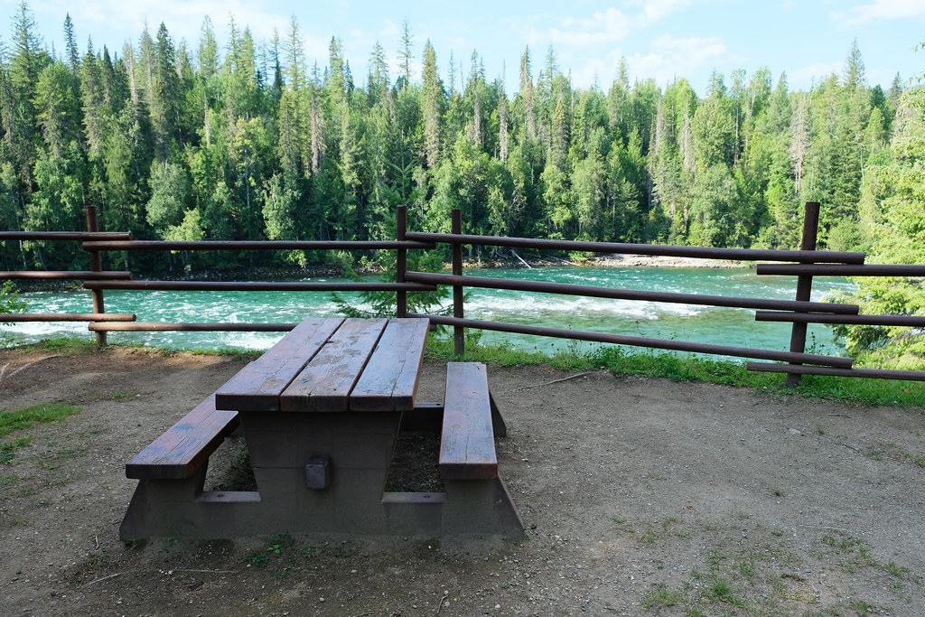
Fall for it despite the lack of amenities (and paved roads) and the millions of mosquitos hunting for human blood in the summer. Ah, but how it felt taking a shower in the spray of Moul Falls while walking behind it. How picture-perfect Helmcken Falls was in the late evening sun. How we hunted for (mosquito-free) picnic spots along Clearwater River. (We did find some!) And how those waterfalls roared and rumbled!
BC Trip Planning is Overwhelming. So We Did It For You.
Our compact guide delivers step-by-step itineraries to BC’s best sights and hidden gems.
This post is all about the best things to do in Wells Gray, along with practical tips and accommodation ideas to make your trip smoother and more enjoyable.
What makes Wells Gray so unique?
In addition to the most wonderful waterfalls we’ve seen in BC, I mean. And the untouched wilderness: pristine rivers and lakes, endless pine forests as far as the eye can see. Well, there’s something more: volcanic rock formations.
Our first glance at Spahats Creek Falls was: deja vu, Iceland! This thundering waterfall is surrounded by an incredibly picturesque basalt canyon, and it reminded us of the countless powerful Icelandic waterfalls, backed up by colorful basalt rocks. And Spahats Falls was not the only one of its kind in Wells Gray.
In fact, Wells Gray is part of a volcanic field that started forming roughly 3.5 million years ago. Volcanic eruptions and glacial activity have carved the mountains and those beautiful river canyons in the park. You can still find volcanoes in Wells Gray, and some of them are potentially active. No worries though, the last eruption of Pyramid Mountain happened 12000 years ago.
Best accommodations to visit Wells Gray:
- Best hotel: Best Western Plus Gateway to the Falls in Clearwater
- Best lodge: Wolfwood Guest Ranch
- Best B&B: Hummingbird Bed and Breakfast in Clearwater
How to get to Wells Gray Provincial Park?
Wells Gray Provincial Park is a large wilderness in British Columbia’s interior, north of Clearwater and about halfway between Vancouver and Jasper (Alberta). This makes Wells Gray an excellent place to spend time as part of a longer Canadian Rockies road trip.
DO YOU NEED A CAR FOR YOUR ROAD TRIP? SEARCH, COMPARE AND SAVE:
Discover Cars is one of the world’s largest online car rental platforms with vehicles in 10,000+ locations. Compare the best rates here.
There are three entrances that allow access to the southern areas of the park. The main park access is through the 68 km long Clearwater Valley Road, also called Wells Gray Corridor, and it starts just north of the tiny town of Clearwater. This route offers roadside viewpoints, picnic areas, established hiking trails and campgrounds. It gives access to the three most magnificent and famous waterfalls of Wells Gray: Helmcken Falls, Moul Falls and Spahats Falls.
The second entrance is at Mahood Lake, 76 km east of 100 Mile House – and that’s the direction to access Mahood Lake, through Canim Lake Road. (Don’t believe Google Maps who recommends a route to Mahood Lake from Clearwater, as well. That’s a rough forest service road, and most likely you don’t want to take it. We definitely shouldn’t have taken it, anyway.) The Mahood Lake area has a campground, a short trail to Mahood Falls & Canim Falls, and Mahood Lake, suitable for swimming and kayaking in the summer.
The third access is at Murtle Lake, 27 km west of Blue River. This is an area we haven’t visited, and it offers mainly canoe camping. There’s no hiking trails or vehicle-accessible attractions, only backcountry opportunities. Murtle Lake is a beloved paddling destination though. Motorized boats are not allowed there which makes for a serene canoeing experience.
Further north of Wells Gray the wilderness continues with Bowron Lake and Cariboo Mountains Provincial Parks.
Best things to do in Wells Gray
Focusing mainly on the Wells Gray Corridor and its easily accessible attractions, let’s see the best things to do in “Canada’s Waterfall Park”:
Drive the Wells Gray Corridor
Driving the 68 km long Clearwater Valley Road is an attraction on its own, but only if you take your time, stop at the viewpoints, picnic areas, hiking trails – and the waterfalls which make Wells Gray so unique!
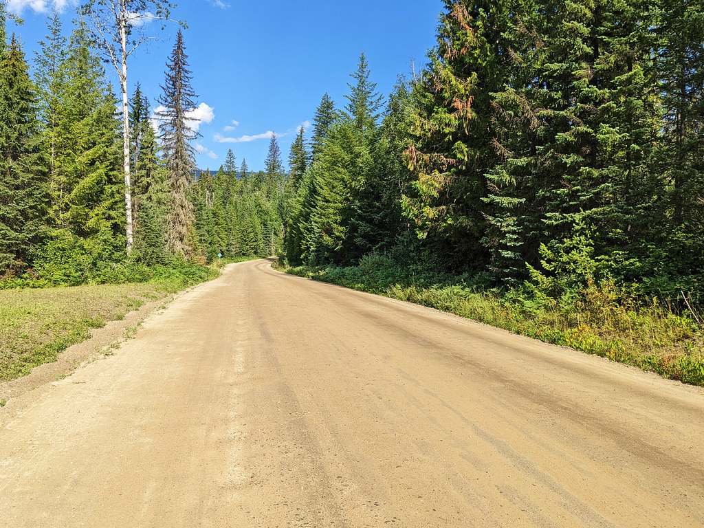
This road ends at Clearwater Lake, and you can return on the same way. The Wells Gray Corridor is not all the way paved though, only until the Helmcken Falls turnoff (the first 42 km). The rest of the route is gravel, but it’s usually good enough to drive with any kind of car.
we found the unpaved section of the road is still very good quality
Nine (out of the 41) waterfalls in Wells Gray are easily accessible from the Wells Gray Corridor, including the most famous, iconic waterfall of the park: Helmcken Falls.
Here are the best stops not to miss when driving this route:
- Spahats Falls: short walk
- Moul Falls Trail: 5.5 km return hike
- Dawson Falls Trail: 1.4 km return hike
- Helmcken Falls Rim Trail: 8 km return hike; there’s also an easily accessible lookout on the other side of the canyon a bit later
- Mushbowl: roadside stop
- Helmcken Falls Lookout: this is the lookout which only requires a short walk from the parking
- Ray Farm Trail: 3 km return hike, showcasing an old farmhouse and two mineral springs
- Bailey’s Chute Picnic Area & Trail: 1.3 km return hike
- Clearwater Lake Day Use Parking & Osprey Falls: short walk from the campground
Stop at Spahats Falls
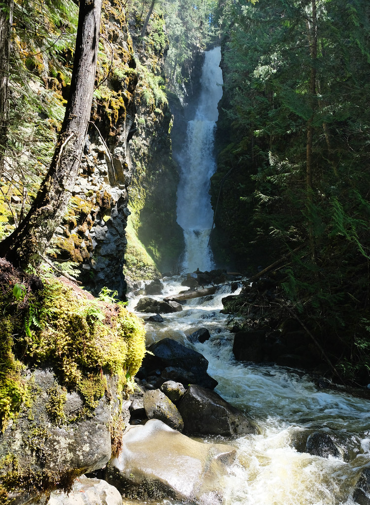
Spahats Creek Falls was our first stop in Wells Gray, and what a surprise it was! I’ve never heard about this waterfall before, even though it’s insanely picturesque: flowing through a narrow rock gap, it’s 75 meters high and is surrounded by a beautiful basalt canyon.
It’s a few hundred meters walk from the parking lot through a nice hemlock and cedar forest, and the short canyon rim offers several viewpoints to admire it (so do admire).
Hike to Moul Falls
As you drive further north on the Wells Gray Corridor, you reach the trailhead of Moul Falls. If you do only one hike in Wells Gray, let it be this one.
The first half of the 5.5 km return trail to Moul Falls is very easy, flat and wide. It gets more rough and narrow – and also prettier – in the second half, and the final descent to Moul Falls is short and steep, with several staircases.
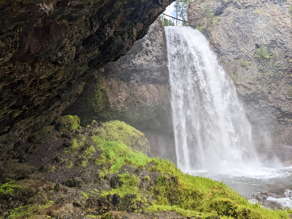
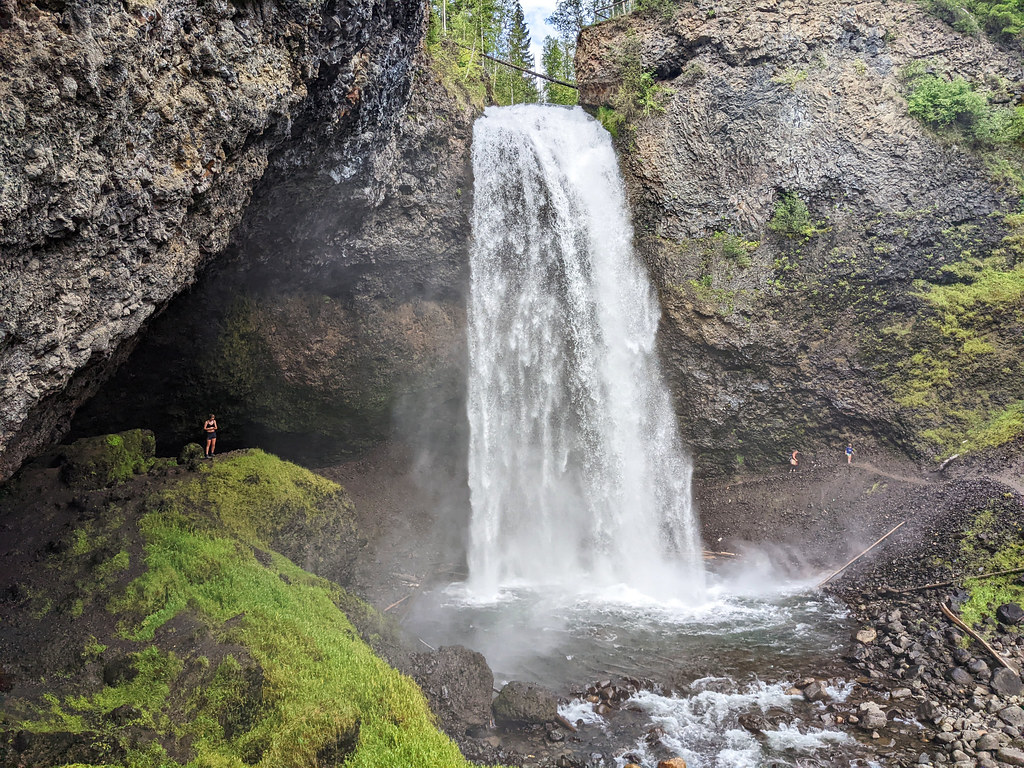
Moul Falls is dramatic. The water plunges 35 meters into a rock bowl, it’s thundering and soaking you with water spray. It might be possible to walk behind it, but the official trail ends in front of Moul Falls.
However, the narrow path continues under the cliffs, and it takes you to the back of Moul Falls (where you’re guaranteed to be soaked – or take a cold shower, whichever way you approach it). You can walk behind the waterfall, to the other side of the riverbank. This is not recommended by the national park, it might not be possible in early summer when the waterfall is very powerful, and generally, you do it at your own risk.
Visit Helmcken Falls: viewpoint & Helmcken Falls hike
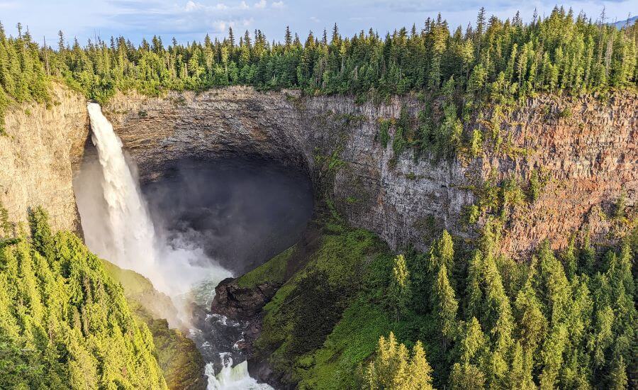
141 meters high, Helmcken Falls is the fourth highest waterfall in Canada. Plunging into a rugged canyon, it’s the most iconic sight in Wells Gray, and you can enjoy it from different perspectives.
The wheelchair-accessible lookout is at the Helmcken Falls turnoff, a short walk from the parking lot. It has a large viewing area, and I think it provides the very best views of this magnificent waterfall and Murtle River tumbling down below.
Optional hike from the lookout: Gatling Gorge Trail
Though you don’t need to hike for a waterfall view at the Helmcken Falls lookout, it’s worth hiking the Gatling Gorge Trail (or at least part of it) which starts from this lookout.
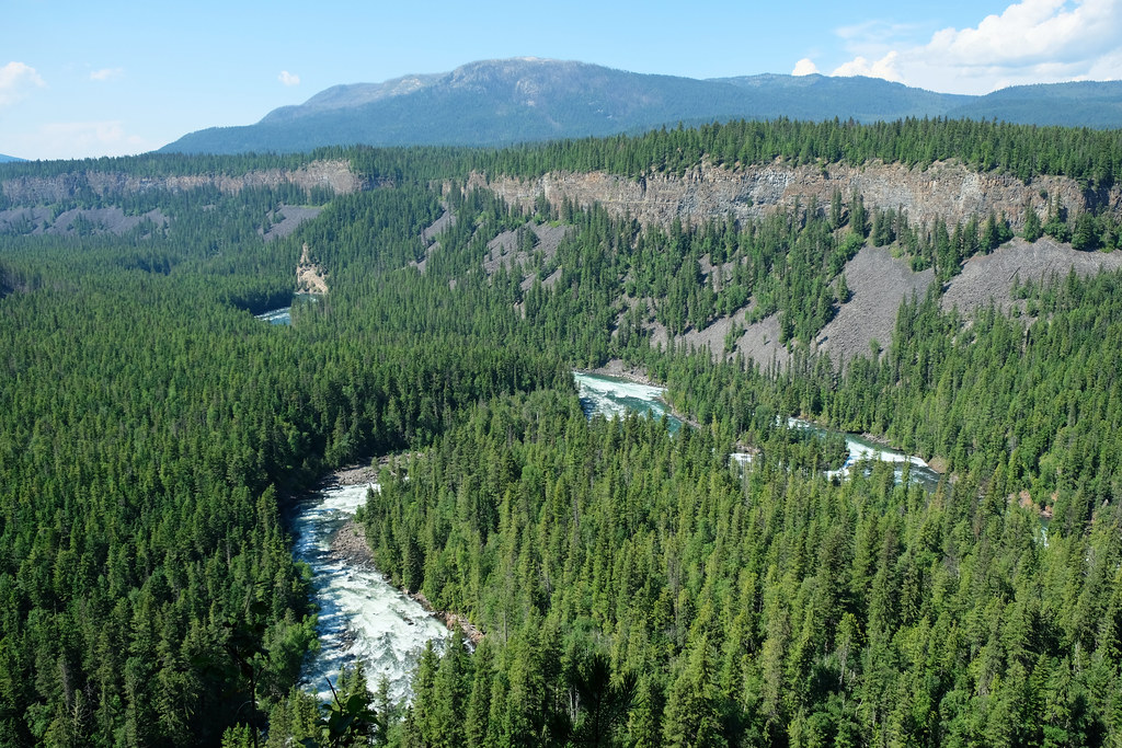
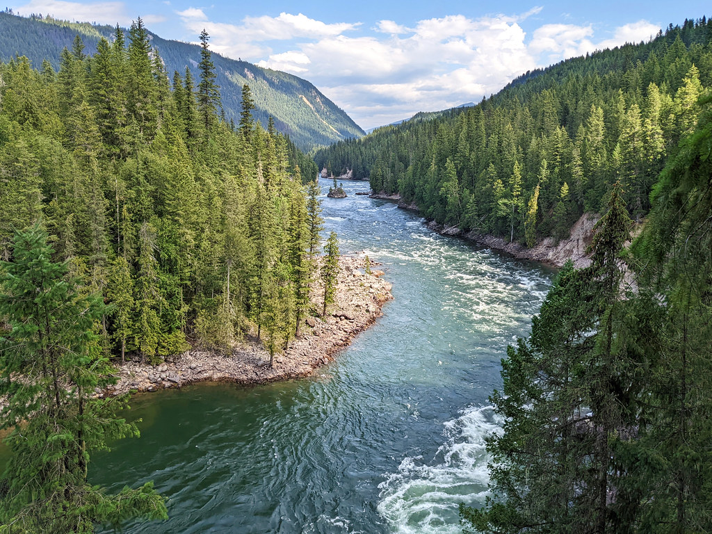
This 7 km return trail runs on the canyon rim, offering the best views of the canyon and the wild landscape of Wells Gray: an idyllic mixture of green and blue, endless pine forests cut through by wild rivers. I often stopped to take in the views, thinking to myself “this is exactly how I imagined Canada”.
Another waterfall view: Helmcken Falls Trail
You can enjoy another perspective at the end of the Helmcken Falls Trail. It’s a 4 km hike along Murtle River on the south rim of the canyon. It leads through dense forest, with only occasional river views.
side view from the south rim trail
There’s no lookout on this trail, but there are a few clearings towards the end, and that’s where you can enjoy close side views of Helmcken Falls. It’s a misty view and closer than what you can get from the other side. But there’s no fence, so be careful.
Walk to the Dawson Falls viewpoints
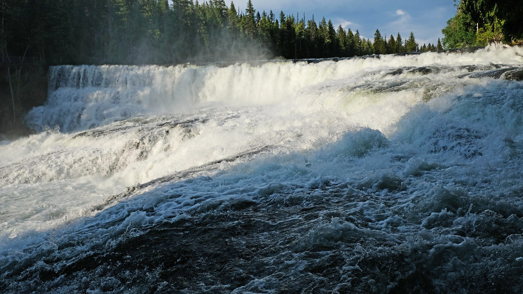
Nicknamed as the “Small Niagara Falls”, Dawson Falls is not too high (about 18 meters), but it’s a very impressive, powerful terraced waterfall, spanning 90 meters wide and cascading across ancient lava beds.
There are four viewpoints, and while none of them offer “the perfect picture” view, you can enjoy a bit of a different perspective from each of them. Three viewpoints are along a short walk (1.4 km return) through the old growth forest, and you can get really close to the roaring river.
The fourth viewpoint is on the other side of the river and can be reached on a 2.3 km loop trail from Pyramid Campground (perfect morning or evening stroll while staying at the campground!). I liked this view the best.
Stop at the Mushbowl
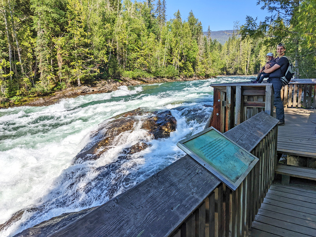
This is a small, rushing waterfall right by the road. Pull off to a small dirt parking area after the one-lane wooden bridge over the Murtle River, then walk to the bridge for the best views. (No busy traffic to be worried about.)
Hike along Clearwater River to Bailey’s Chute (and further)
If you like those trails that are close to the water, this one’s for you. No large waterfall here, but the views and sound of Clearwater River is there with you all the way.
It’s a 1.6 km return to Bailey’s Chute, a nice river viewpoint with rushing cascades and rapids. You can continue further to Marcus and Myanth Falls, making it a 6.5 km loop trail. None of these waterfalls are high, but they’re wide and powerful.
Hike it as a loop, or return on the same path? You can do it as a loop, but looking back, we’d have chosen to return on the same path along the river, because that pleasant riverside walk was the highlight of this trail. The other side of the loop through the forest doesn’t offer any viewpoints.
In late summer, you can see salmon migrating upstream in the wild river.
Explore the Clearwater Lake area
Clearwater Lake was created about 6000 years ago when a volcanic eruption damned the Clearwater River. The lava pools can be seen today, along with a small, but wide waterfall: Osprey Falls.
While Osprey Falls can’t compete with the previously mentioned Wells Gray waterfalls, it’s such an easy walk from the vehicle accessible campground that it would be a shame to miss.
There’s a Lakeshore Trail running for 3 km (one-way) along Clearwater Lake, and it offers serene lake views. However, 20+ km long Clearwater Lake is best explored by kayak or boat. You’ll find many waterfalls accessible from the water only, and Clearwater Lake connects to Azure Lake, another long, secluded lake that’s accessible only by boat as the road ends at Clearwater Lake.
Rainbow Falls is the reward for those who paddle to the far end of Azure Lake.
Camp at Mahood Lake
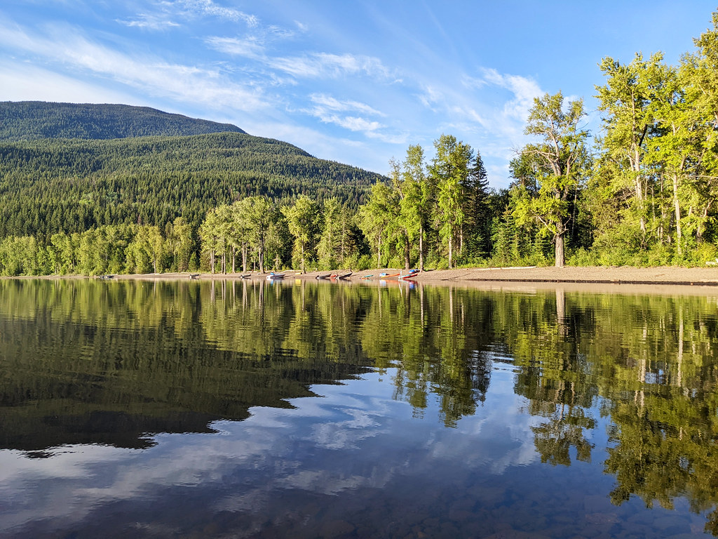
Mahood Lake is the only lake in Wells Gray which is not fed by a glacier, so it’s the most pleasant for swimming. Boating and fishing are also popular here, and spending time at the campground on the lakeshore really gives you the chance to have a peaceful getaway in nature.
This is a remote area though, not accessible from the Wells Gray Corridor. I would say it doesn’t get busy, but since the only campground here is relatively small, you need to book early to grab a spot.
My year in BC, your perfect road trip.
Get my personal, all-in-one guide to BC’s iconic sights and hidden gems. No more planning headaches.
Marvel at lesser-known waterfalls
As a waterfall addict I made it my mission to see as many of Well Gray’s amazing waterfalls as possible. A low clearance vehicle and a toddler to hike with were the main limitations, but I have nothing to complain about.
There are quite some relatively unknown and easily accessible waterfalls to find in this park, and we had all of them for ourselves for a long while. (Then a rafting group arrived at Candle Creek Falls, but really, there’s a high chance you won’t see anyone around.)
So which are these waterfalls?
Triple Decker Falls
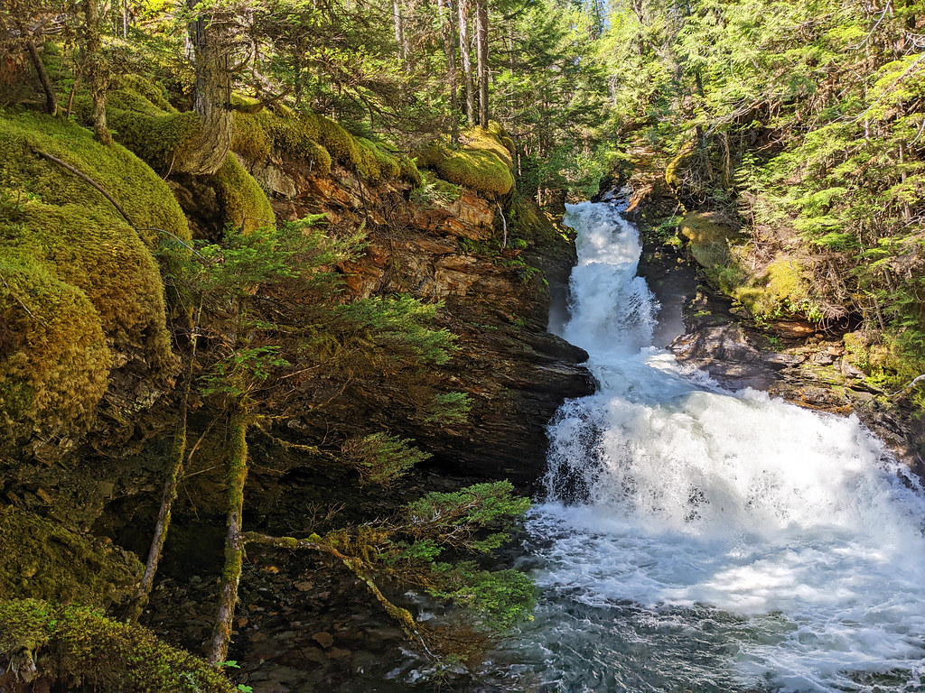
It’s just a 5 minutes drive from Clearwater. As you start driving on the Wells Gray Corridor, watch out for a small unpaved parking area on the left. That’s where the 0.8 km return hike to Triple Decker Falls starts.
The trail is short, but it’s a very steep descent all the way down. In exchange, you get down quickly so that you can enjoy a surprisingly large, picturesque, three-tiered waterfall in a dramatic canyon. I have no idea why Triple Decker Falls is not more famous. Maybe it’s not that easy to become famous with all those other beautiful waterfalls nearby.
Candle Creek Falls
Clearwater River viewpoint on the trail
The trailhead for Candle Creek Falls is the same as for Triple Decker Falls. They’re not one after the other though, the route to Triple Decker Falls is a side trail. The main trail follows the Clearwater River downstream, and reaching Candle Creek Falls is a 4 km return hike.
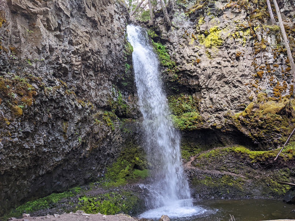
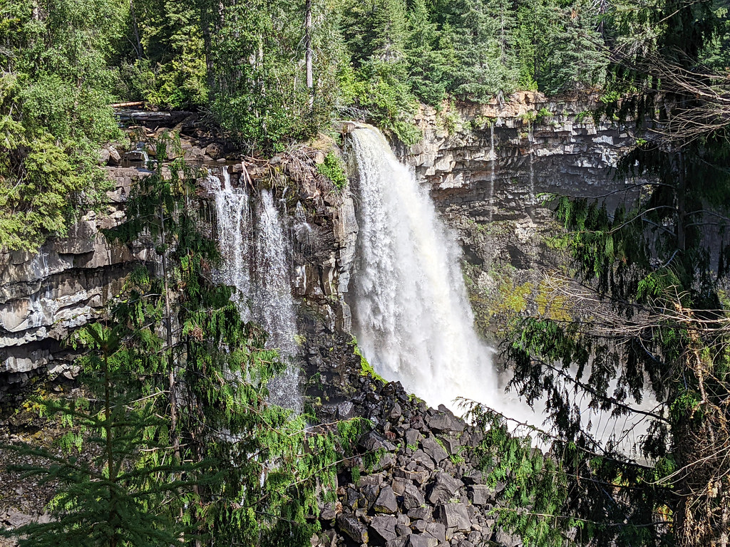
The trail gets very steep at places, with the occasional ropes to help you get down safely. There’s a wonderful viewpoint where you can see the Clearwater River, and Candle Creek Falls is a nice reward for your effort. It’s on the smaller side (we’re in “Canada’s Waterfall Park”, that’s why), but looks stunning, backed up by lava columns. You can even walk behind it.
It’s accessible by river, too, and some of the guided whitewater rafting trips include it as a stop.
Sticta Falls
10 meters high Sticta Falls, twisting through a basalt gorge, is a much more impressive sight than Osprey Falls, yet few visitors ever find it when exploring the Clearwater Lake area.
It’s along Falls Creek, near the campground, and you can reach it by hiking 0.5 km up the Kostal Lake Trail (also called Dragons Tongue Trail) which starts from the bridge over Falls Creek.
There’s also a trail called Osprey Falls Lookout from the same trailhead – don’t bother with it. It has barely any views, but it’s good as a morning workout.
Mahood Falls & Canim Falls
The 2.3 km return hike to Mahood Falls and Canim Falls starts a few minutes drive away from Mahood Lake Campground. If you’re in this area, make sure to stop. Otherwise, you can’t access it from the Wells Gray Corridor or from Clearwater.
In any other country, there would be several well-designed viewing platforms to allow visitors to enjoy the spectacular waterfalls views that Mahood Falls and Canim Falls offer. Not in Wells Gray. It’s not in the central area of the park, and they’ve already built viewing platforms at other waterfalls, so why bother?
While it’s understandable, I still felt sorry, because this trail could be much more impressive with well-built viewing platforms that offer unobstructed views. It’s still pretty and worth doing if you’re staying at Mahood Lake.
The canyon itself is dramatic enough (but you can rarely see it well), and the two waterfalls would make the experience perfect. They would, yes. Mahood Falls can’t actually be seen well, there’s lots of obstruction in that one distant view you get. But Canim Falls make up for it, with a relatively unobstructed viewing area and the option to venture even closer to the top of the falls.
Keep your eyes open for wildlife
Black and grizzly bears, moose, caribou, cougar, lynx, wolf, bobcat, deer, mountain goat, caribou and lots of smaller mammals, like mink, weasel, squirrels and martens, call Wells Gray home. Over 200 species of birds live in the park. Spawning salmon swim up in the rivers each August.
Driving, hiking, camping in Wells Gray Park – they are all chances to see wildlife. While it can be an amazing experience, you should be careful and keep your distance from all wild animals. It’s because of their safety and yours. Observe them from a safe distance, never feed them or disturb them in any way.
Where to stay
Wells Gray Provincial Park camping
Though Wells Gray Provincial Park can be visited on a day trip from Clearwater, staying overnight at a campground or exploring the backcountry allows you to truly experience this serene, wild park.
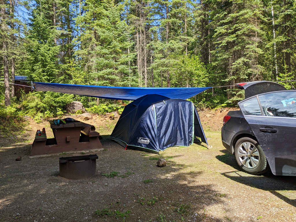
Wells Gray camping is an experience itself, and there are both vehicle-accessible and backcountry campgrounds to choose from. We’ll focus on the vehicle-accessible ones in this post, and that’s what we know, anyway. There are four of them, and they’re quite rustic, with minimal amenities, but with plenty of privacy.
Pyramid Campground has the best location to explore the Wells Gray Corridor and visit the most famous waterfalls in the park. Falls Creek and Clearwater Lake campgrounds are better for water lovers, as they provide a great base for kayaking trips on Clearwater Lake and further.
Also, Pyramid Campground can be accessed on paved road, while Falls Creek and Clearwater Lake require driving ~25 km on unpaved road.
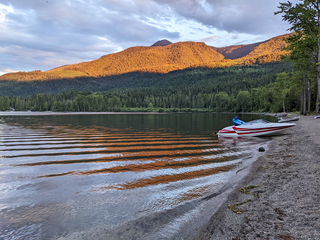
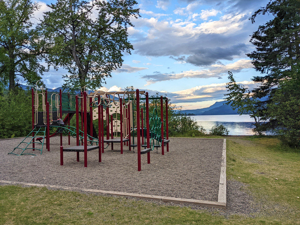
Mahood Lake campground is on the shore of Mahood Lake, offering 34 sites, a beautiful beach and an adventure playground. Though the campsites are in the forest and not on the lakeshore, you’re only a short walk away. (Yes, I’m biased about this campground, I loved the morning and evening views so much while walking on the lakeshore.)
Mahood Lake campground can’t be accessed from the main park entrance, it’s a 76 km drive east of 100 Mile House.
Lodges and inns
While Wells Gray Provincial Park accommodation means campgrounds, you find a few lodges and inns along the Wells Gray Corridor, and a few more in Clearwater.
Wolfwood Guest Ranch is just off the Wells Gray Corridor, about 20 minutes drive from the Helmcken Falls turnoff. It offers comfortable suites, lake access and plenty of nature trails in the area.
Mini-Mooh cabin is a wooden chalet with 3 bedrooms, a kitchen, a bathroom and a washing machine. It’s located just north of Clearwater, ideal to enjoy comfort while being surrounded by nature.
Hummingbird Bed and Breakfast in Clearwater has private rooms, a common area with a fireplace and an on-site terrace. It’s a great base to take trips to Wells Gray and other parks in the area.
Best Western Plus Gateway to the Falls is a 3-star hotel in Clearwater, with various rooms and even family rooms, and each comes with a private bathroom, some also have a kitchenette.
5 things to know before visiting Wells Gray
Facilities in the park are limited. There are no flush toilets, hotels or gas stations inside the park, so fill up on gas and food before leaving Clearwater. There’s also very little phone signal, so download your maps beforehand.
The park is open year-round, but facilities and road access are limited between October and April. Helmcken Falls is usually accessible even in the winter months.
Wear proper hiking boots when tackling the trails in Wells Gray, as paths can be rugged and also muddy after rain.
Carry bear spray and know how to use it. Keep your distance from wildlife.
However, there’s one form of wildlife you won’t be able to keep your distance from: mosquitos! They are present in the summer months, and in large numbers. We found that insect repellent and even covering our skin doesn’t help as much as we hoped (they bite through hiking shirts easily), and we wished we’d have a mosquito headnet and/or mosquito jacket.
What to wear hiking in the summer?
Hiking pants, preferably zip-off pants: mornings and evenings are chilly, so you’ll be happy to wear long sleeve pants, but it’s very practical if you can simply zip the sleeves off in the hottest part of the day, or when hiking uphill. Columbia offers affordable, practical and durable models both for women and men.
Waterproof hiking boots: appropriate footwear is very important to have an enjoyable and safe hike. We recommend wearing hiking boots that provide good traction. Waterproofness is also important, because weather in BC is quite rainy for most of the year, and melting snow makes lots of trails muddy well into the summer. Dry feet are key for a happy hike. This Columbia Newton Ridge Plus is a great option for women, and the Newton Ridge Plus II for men.
Long sleeve hiking top: you can wear a lightweight, long sleeve top with sun protection as a standalone wear on high mountain trails (it never gets too hot up there, but the sun will be harsh on your skin on clear days), or you can use it as an additional layer when it gets chilly in the morning or evening at lower elevations. This BALEAF top for women offers UPF 50+ protection, and NAVISKIN has a long sleeve T-shirt with UPF 50+ protection for men.
T-shirt: moisture-wicking and quick-drying technical T-shirts are the best for hiking on a hot day. Here’s a great model for women, and here’s one for men.
Hiking socks: merino wool blends are moisture-wicking and breathable, they keep your feet cozy either when temperatures are warm or cold.
Waterproof rain jacket: a lightweight, easily packable rain jacket should always be in your backpack, just in case. You don’t want to get caught unprepared in a sudden storm. Columbia jackets are affordable and effective for the average hiker, here you find them for women and for men.
Overwhelmed by BC trip planning?
Relax. We’ve handled all the details. Get your easy-to-follow guide and start your unforgettable adventure.
